Vertical Technologies Drone
1. DeltaQuad

Introduction:
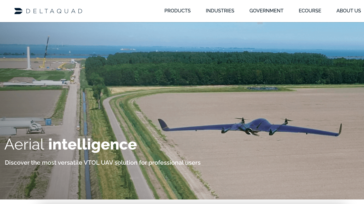
We are proud to announce that we have successfully integrated the latest A growing A7R-IV Quad multispectral sensor on the DeltaQuad, which enables us to offer the highest possible resolution for multispectral mapping.
The most important features of this new standard in multispectral mapping:
4 – 6 times higher resolution compared to alternative multispectral sensors
6 to 8 times more area coverage compared to common multispectral UAV solutions
Live video stream of mapping footage for real-time quality assurance.
Sub CM level position accuracy through PPK georeferencing
Enable deep AI-analysis by acquiring 0.5mm per pixel multispectral close-ups.
Easily swap lenses to perform 61 megapixel RGB mapping on the same camera and UAV.
Video:
 Headquarter: Netherlands
2. Wingtra

Introduction:
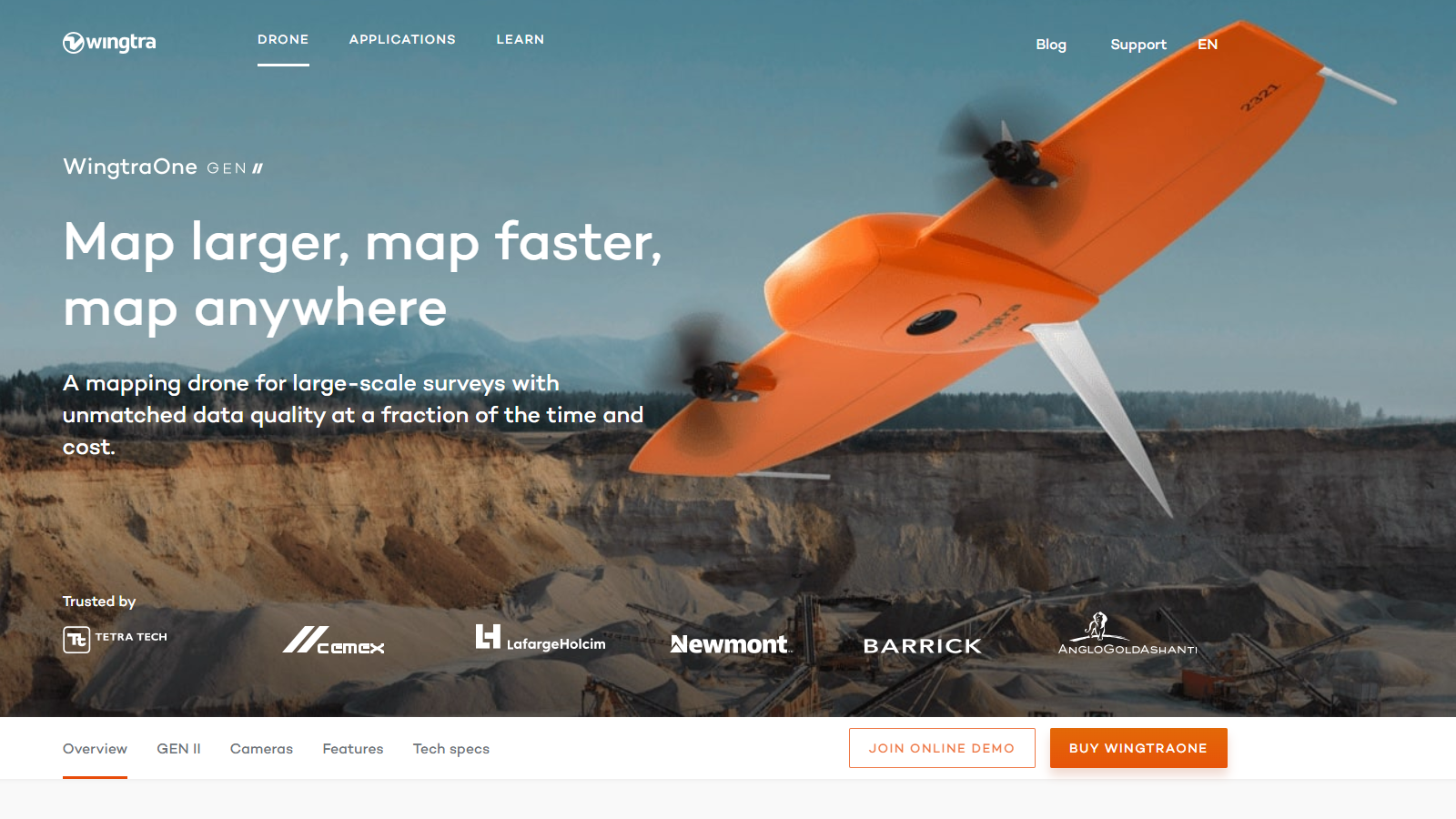
WingtraOne GEN II’s unique set of features empowers you to minimize your time flying and get more work done, be it another project in the field or analyzing your data at the office.
Efficient fixed-wing flight
Fly at 16 m/s (36 mph) for up to 59 minutes per flight for large coverage.
42 MP camera
WingtraOne can fly higher than drones limited to 20 MP cameras, so you capture more ground and more detail with every picture and a larger area per flight.
No more GCPs, checkpoints only
With an onboard high-precision PPK GNSS receiver you no longer need to lay out ground control points (GCPs). Use as few as three checkpoints to verify your map quality.
Lower image overlaps
High quality optics means you can reconstruct your map reliably even with lower overlaps. This means more new ground covered per flight line and maximum coverage per flight.
Video:
 Headquarter: Switzerland
Contact Us Now
Enter your inquiry details, We will reply you in 24 hours.
Name can't be empty
E-mail can't be empty
Company can't be empty
Phone can't be empty
Phone
Products can't be empty
Products you want
Message can't be empty
Verification code error
Refill


