Drones for Surveying Land
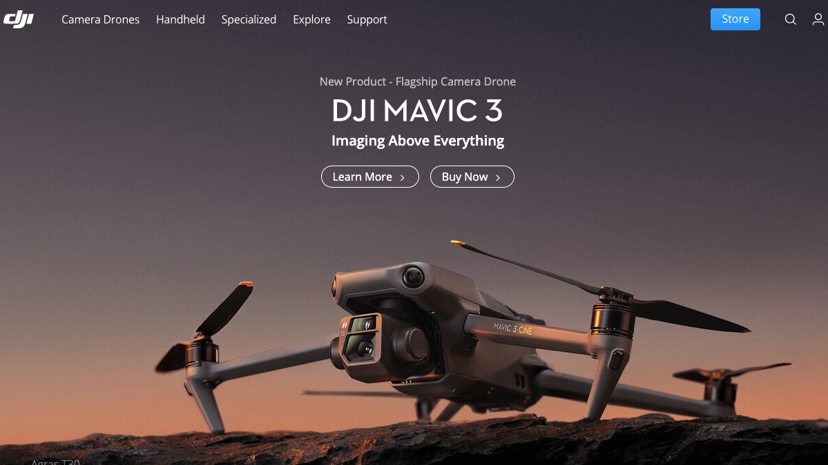
1. DJI

Introduction:
Today, DJI products are redefining industries. Professionals in filmmaking, agriculture, conservation, search and rescue, energy infrastructure, and more trust DJI to bring new perspectives to their work and help them accomplish feats safer, faster, and with greater efficiency than ever before.
Established to produce DJI’s innovative products safely and responsibly, our wholly owned subsidiary Shenzhen Dajiang Baiwang Technology Co., Ltd. is a high-tech manufacturing facility specializing in unmanned aerial vehicles. In 2016, Dajiang Baiwang passed the ISO 9001:2015 Quality Management System Certification and in 2017 passed the SGS ISO 14001:2015 Environmental Management System Certification.
Video:
 Headquarter: Shenzhen, China
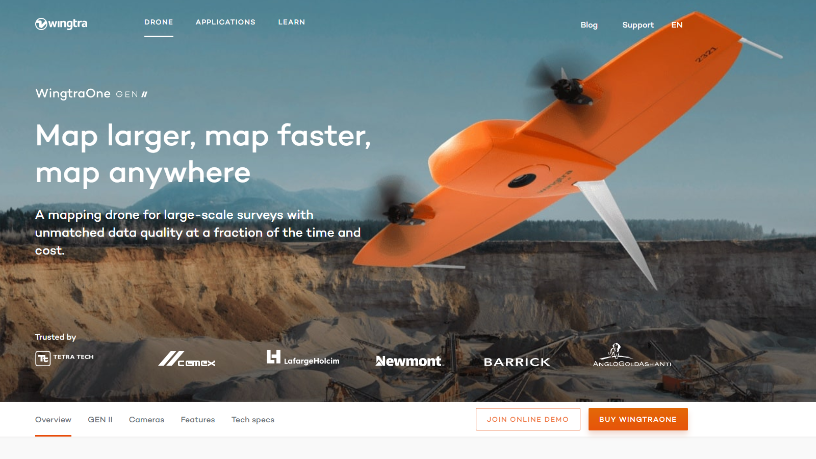
2. Wingtra

Introduction:
WingtraOne GEN II’s unique set of features empowers you to minimize your time flying and get more work done, be it another project in the field or analyzing your data at the office.
Efficient fixed-wing flight
Fly at 16 m/s (36 mph) for up to 59 minutes per flight for large coverage.
42 MP camera
WingtraOne can fly higher than drones limited to 20 MP cameras, so you capture more ground and more detail with every picture and a larger area per flight.
No more GCPs, checkpoints only
With an onboard high-precision PPK GNSS receiver you no longer need to lay out ground control points (GCPs). Use as few as three checkpoints to verify your map quality.
Lower image overlaps
High quality optics means you can reconstruct your map reliably even with lower overlaps. This means more new ground covered per flight line and maximum coverage per flight.
Video:
 Headquarter: Switzerland
Contact Us Now
Enter your inquiry details, We will reply you in 24 hours.
Name can't be empty
E-mail can't be empty
Company can't be empty
Phone can't be empty
Phone
Products can't be empty
Products you want
Message can't be empty
Verification code error
Refill


