Best Drone 3D Mapping Software
Pix4D

Introduction:
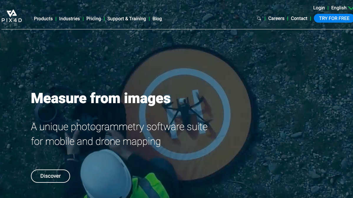
Pix4D is a market leader in photogrammetry software technology.
Our products enable you to digitize reality and measure from images
taken from planes, drones, phones, or any other camera.
We revolutionize photogrammetry, so you can scale up and
unleash the power of your imagery.
Video:
Contact Us Now
Enter your inquiry details, We will reply you in 24 hours.
Name can't be empty
E-mail can't be empty
Company can't be empty
Phone can't be empty
Phone
Products can't be empty
Products you want
Message can't be empty
Verification code error
Refill


